How the maps are made
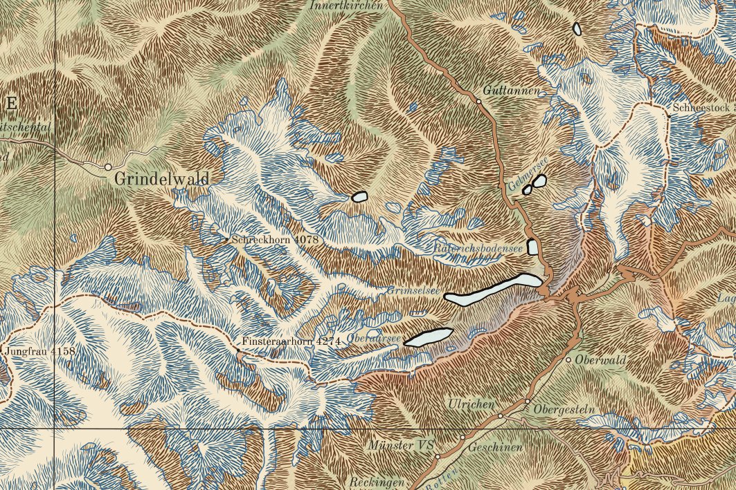
Between 1880 and 1915 the great atlas houses engraved their maps by hand on copper and stone: hills drawn as hachures, finer and darker the steeper the slope; names cut letter by letter; towns, rivers and roads in a strict order of importance. Burin & Compass draws in that manner. The burin is the engraver's tool; the compass, the surveyor's.
The geography is today's. Roads, railways, rivers, towns and houses come from OpenStreetMap; the shape of the ground from the Copernicus elevation model of the European Space Agency; small-scale coasts and borders from Natural Earth. Nothing on a sheet is invented: if a road is drawn, it is there.
The drawing is done by a program written for the purpose. It reads the slope of the ground and lays the hachures as an engraver would; ranks the towns; places every name where it can be read without covering a road or a river; and sets the frame, the margin and the cartouche. No generative AI is used anywhere in the picture.
One design runs through every scale, from the plan of a quarter to the map of a country, so the sheets hang together on one wall.
Who draws them
I am Anton. I live in Belgrade and draw these maps for the love of old atlases: ex amore chartarum.